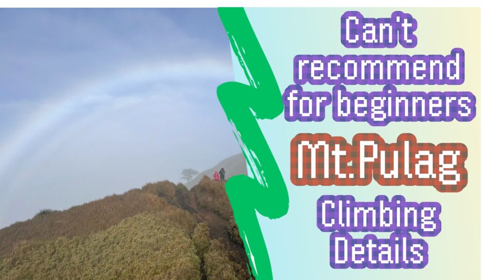
Continuing from the previous article, I would like to introduce Mt. Pulag, the third highest mountain in the Philippines. Pulag, the third highest mountain in the Philippines. This time, I would like to give an honest account of the entire climb, starting at 1:30 a.m. and returning to the lodge around 10:30 a.m., including my impressions from my first experience of climbing at night. (This information is current as of December 2023.)
1:30 AM Departure
After a 5-hour nap, we started at this time. I could not sleep well and woke up every hour or so, but I was in perfect physical condition and had no worries at all. The sky was full of stars, and at that time I could clearly see the constellation of Orion.
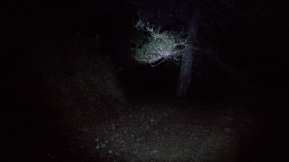
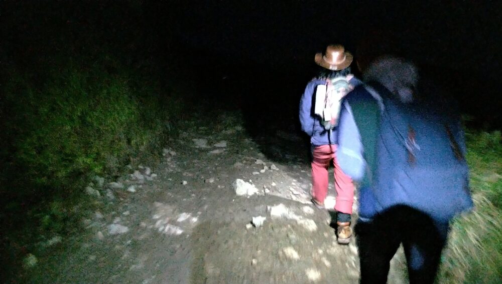
I expected the temperature to be colder than the day before because it was late at night, but because the wind was calm, I did not feel that cold. I was wearing five layers of clothing at this time: a T-shirt, long-sleeved shirt, light hoodie, nylon hoodie, light nylon jacket, and two layers of jersey and jeans underneath.
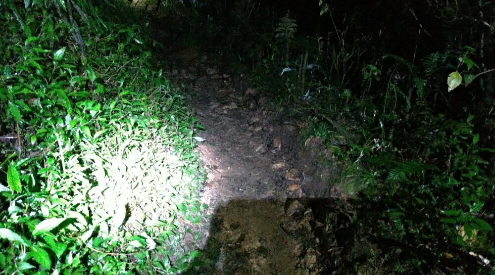
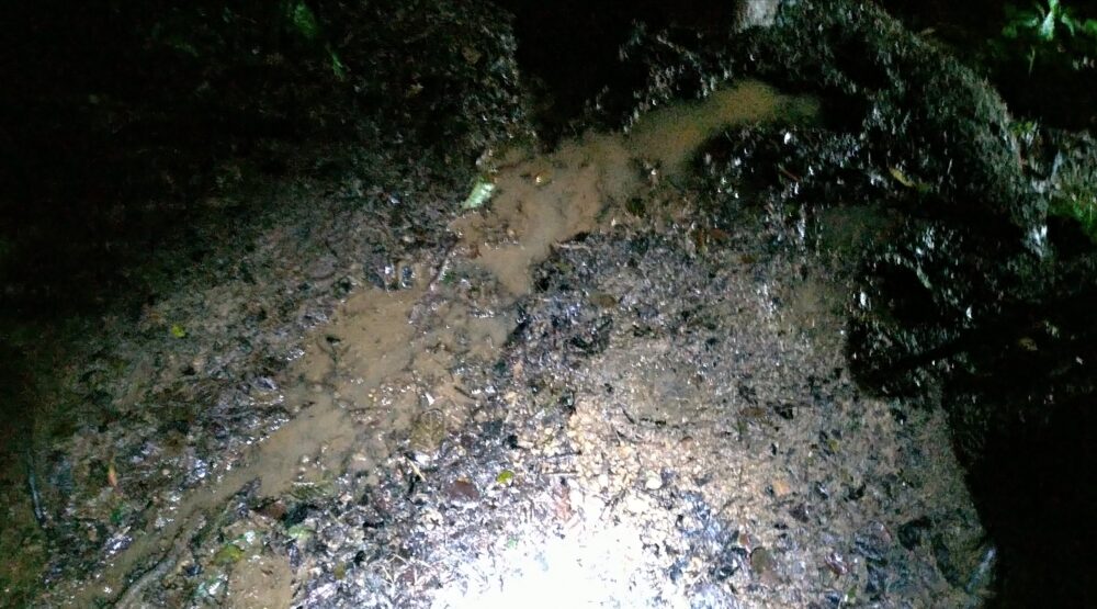
There was nothing around to light the way, and the light at hand was the only way to illuminate the path. At first, the path is a paved area like a field footpath, and it doesn’t feel like you are climbing yet, but rather a flat path with little gradient.
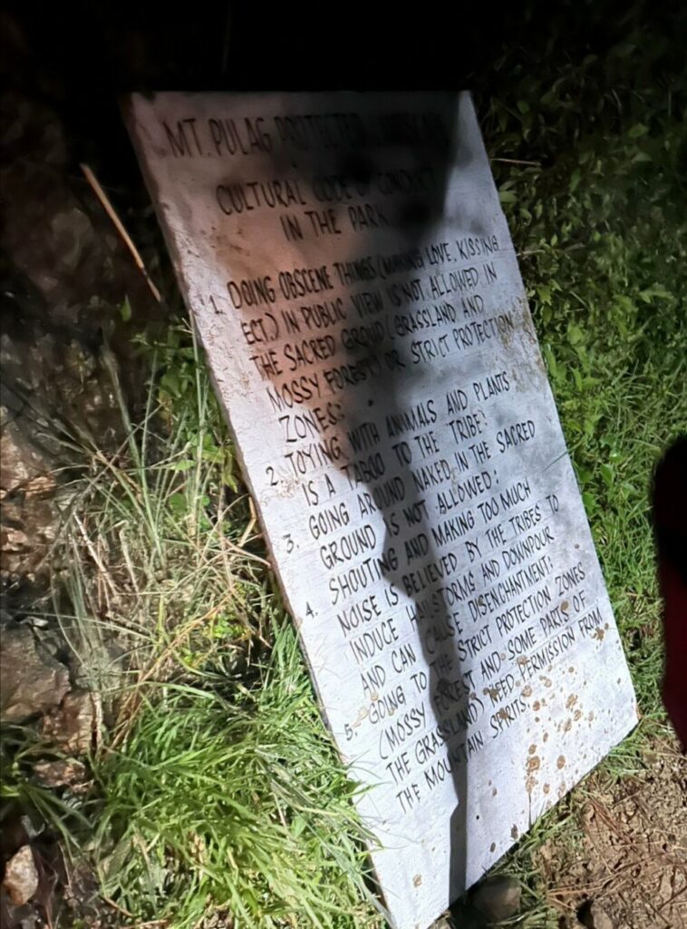
There was no sign of rain, but there were many puddles and mud puddles on the ground, so we had to watch our footing even though it was pitch dark. Along the way, the path gradually narrowed to less than 1 meter wide and became a mountain path surrounded by vegetation.
2:45 AM Arrival at the first checkpoint
About 1 hour and 15 minutes after we started walking, we arrived at the first rest point. There is a really simple restroom here. Although not at all tired, it was hotter than we expected, so we changed some of our clothes while taking a break. At this point I was just fine with three top layers of clothing and one jersey underneath.
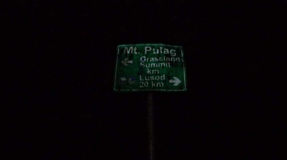
Fifteen minutes before reaching the first camp point, or about 45 minutes after we started walking, the terrain became like climbing a natural staircase made of rocky terrain, but the incline was still not severe enough to be a hike.
4:00 AM Arrival at the second checkpoint
After another 1 hour and 15 minutes, we arrived at a rest point and a restroom. The sky was still pitch black and we could not see anything without a light. This was the last checkpoint, and the narrow trail continued all the way to the summit.
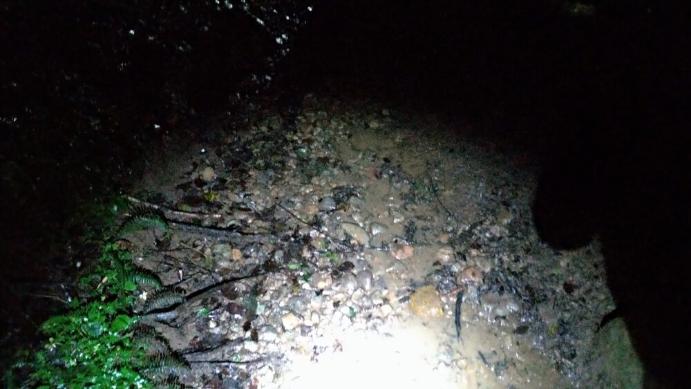
After the first checkpoint, the path became flat again, and at times there were points where it seemed to go downhill. The alternating uphill and downhill sections are less taxing on the legs than the continuous ascent. I still had plenty of time to spare physically.
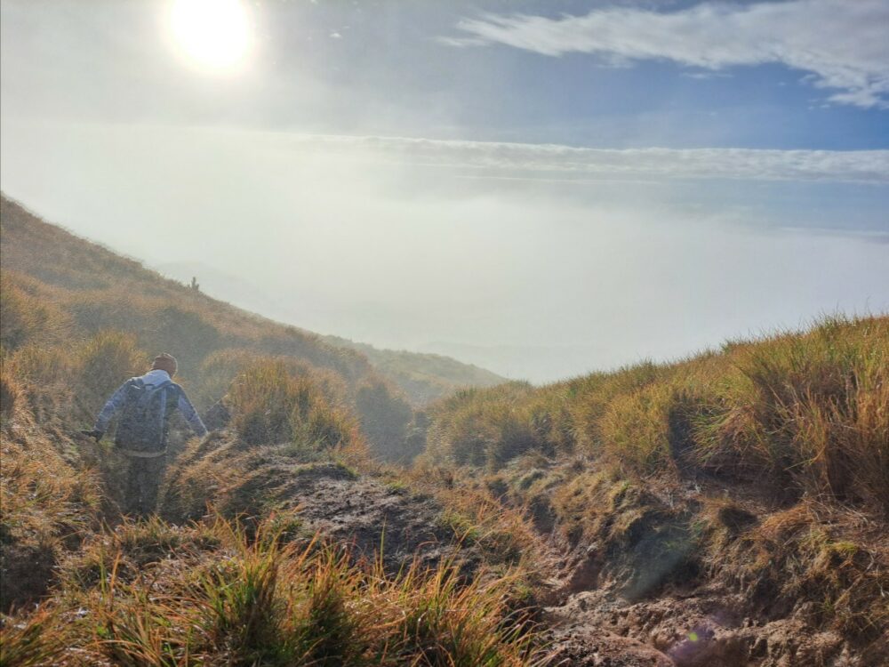
The photo above was taken on the way back after it became light, and the vegetation around the path was getting lower. Only short bamboo grows from this area.
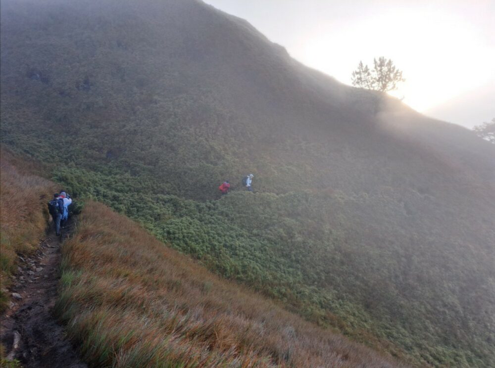
I started to feel a breeze from this area and put on all three of my jackets that I had taken off. Fortunately, I was not sweating, so I was able to avoid getting cold, but it is difficult to regulate body temperature in this area.
4:30 AM: Two difficult points awaiting us
As we proceeded through the short expanse of bamboo shown in the previous photo, the wind often blew through, robbing us of body heat and energy. However, to be honest, up to this point, it felt more like hiking than climbing, and there was no difficulty at all, but this is the crucial point.
Difficulty 1: Muddy and muddy trail
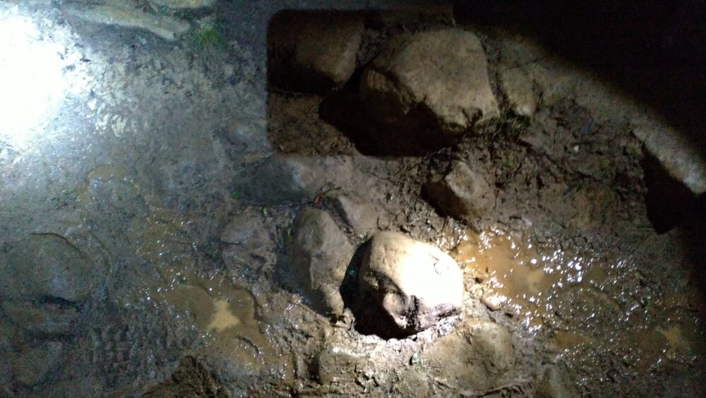
The footholds up to this point were relatively firm and made of rocks, but we had to follow a trail covered with mud and puddles until we reached the summit. In addition to the unstable footholds, visibility is limited to the area illuminated by the light, making it extremely difficult to advance.

As it turned out, I had to fall several times. I fell forward twice, fell on my buttocks once, got my feet caught in the muck and lost my shoes twice, and almost lost my balance more than 10 times on the path due to the ridiculous conditions.
Difficulty 2: Steep gradient that appears near the summit.
It had already been 3 hours and 30 minutes since we started walking, and thanks to the relatively flat terrain, I felt I had plenty of time to spare physically. However, near the summit, several places appeared where we had to raise our legs to the level of thigh training.
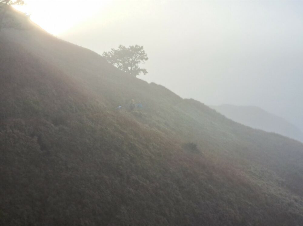
This is where I felt the sudden onset of fatigue. Moreover, as mentioned above, the condition of the trail remains poor. Moreover, it is difficult to move forward as much as you would like because the road ahead is clogged with other climbers.
We know that we are almost to the summit, but these difficulties are breaking our hearts.
6:00 AM We arrived at the summit!
We were 30 minutes behind schedule, but after four hours of frantic walking, we managed to reach the summit! Despite various difficulties, we managed to climb the summit with all our strength and willpower. Here is the view from the summit.
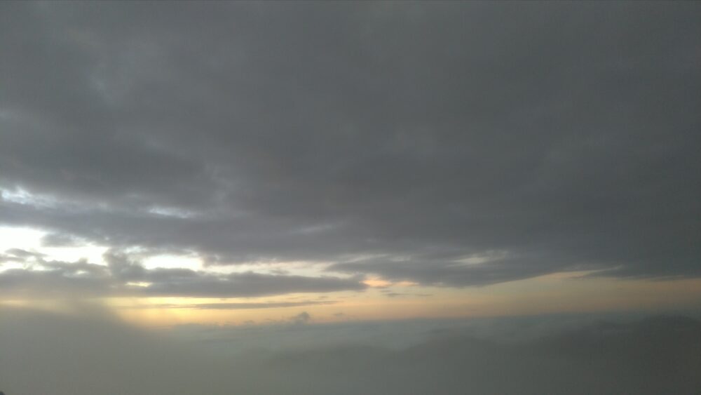
Unfortunately, the clouds were too deep this time to see the sunrise. However, we felt a great sense of accomplishment. It is hard to describe this feeling without actually experiencing it. I guess you have to overcome difficulties in order to feel this feeling.
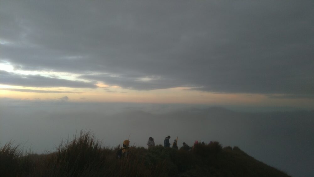
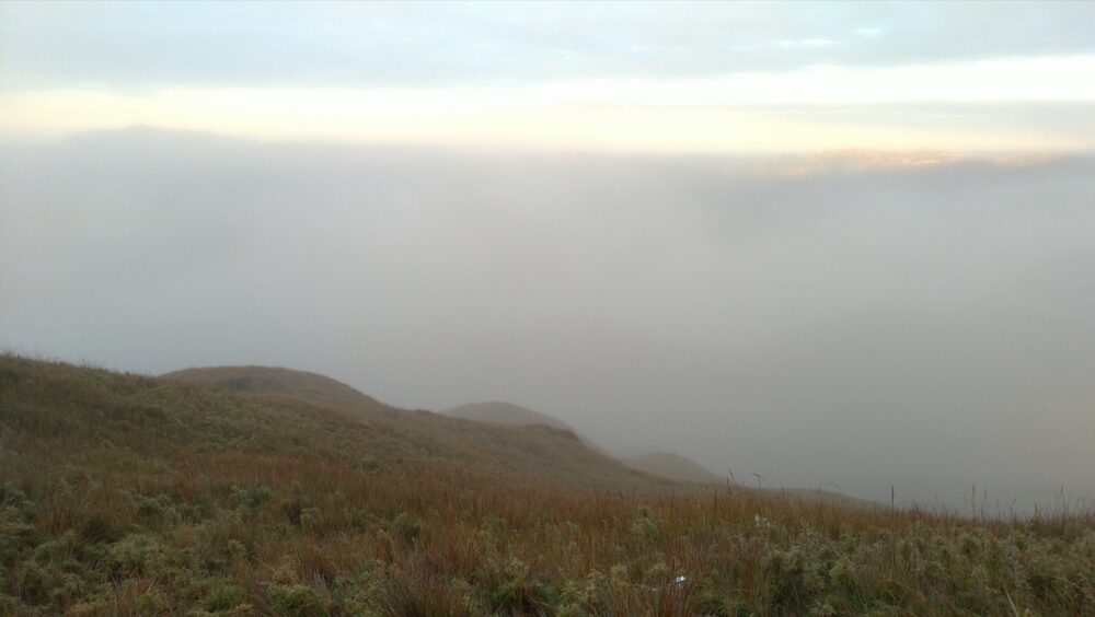
The summit was filled with people, all taking pictures of each other and praising each other’s efforts. However, the summit is cold, cold, cold. The wind was blowing so hard that the temperature dropped dramatically. About 10% of the people who reached the summit were shivering in places where they could shelter from the wind, wearing aluminum sheets for emergency body heat retention.
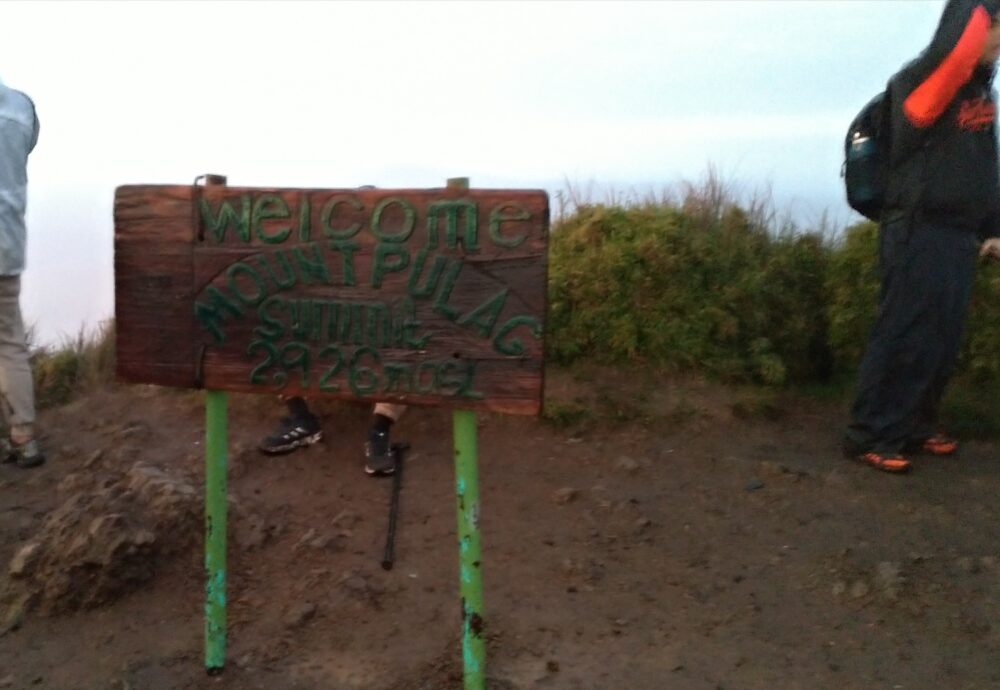
I was not that heavily equipped, so I did not stay long. Following the advice of an expert climber, we decided to descend the mountain after staying about 40 minutes. After that, we returned along the same route we had come.
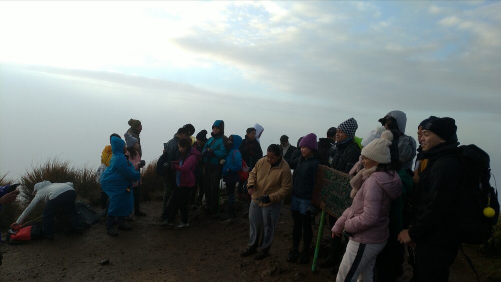
The return trip was less difficult because it was brighter, but we used up what little energy we had left to continue on the same precarious footing. In the end, we started our descent at around 6:40 a.m. and returned to our lodge at around 10:40 a.m., bringing the curtain down on a trip of approximately 15 km and 9 hours in total time.
Three reasons why I do not recommend Mt.
I have described the entire climbing trip with impressive views, but having done it before, I do not recommend Mt.
Reason #1: It is difficult to regulate body temperature.
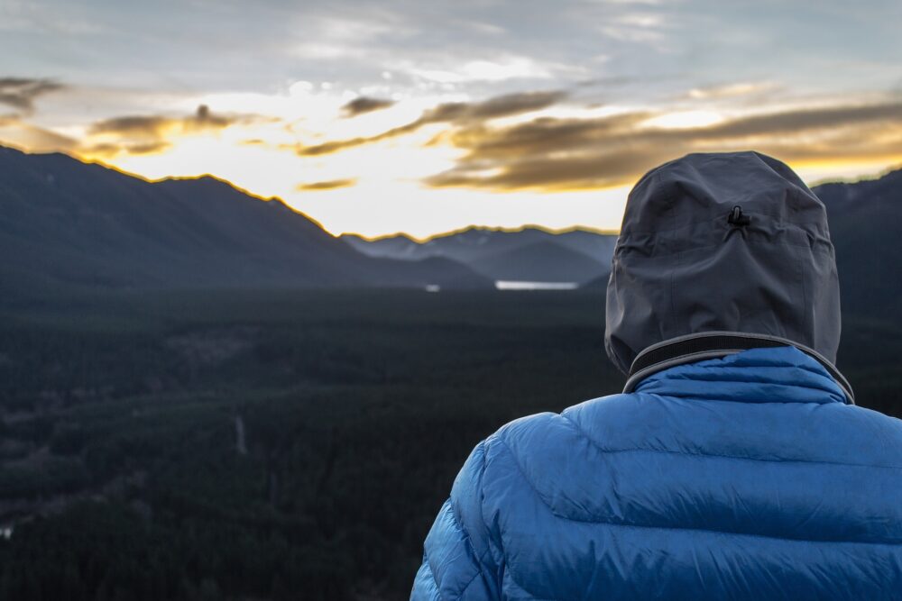
Temperatures in the mountains change rapidly. You will need down jackets and windbreakers, which are not necessary when living in Baguio. In addition to warm clothes, you also need to consider how much space you have in your luggage to take off and save when you get hot. It is also difficult to change clothes in the dark.
Reason #2: Special equipment is needed.
In addition to the above-mentioned warm clothes, you need to prepare special equipment such as headlights and raincoats, which are not used in everyday life. Preparing your belongings is easy in itself, but of course it will cost you money, which means that the cost will be extra than the tour fee.
Reason #3: It is difficult to choose the right luggage.
There is a lot of information on what is needed for night climbing, but it is difficult to determine what to actually bring. I was too focused on hydration and brought a 2L water bottle with me, but ended up using only 1L. The remaining 1L was merely luggage and became a cause of unnecessary fatigue.
Reason #4: There is a possibility that your belongings will be covered in mud.
The muddy conditions at the end of the trail were worse than I expected, and my clothes and shoes were badly stained. In addition, my headlamp had actually run out of charge, and since I had been using the light function of my smartphone to illuminate the trail from the halfway point, mud got into the charging port when I fell, and I was one step away from breaking it.
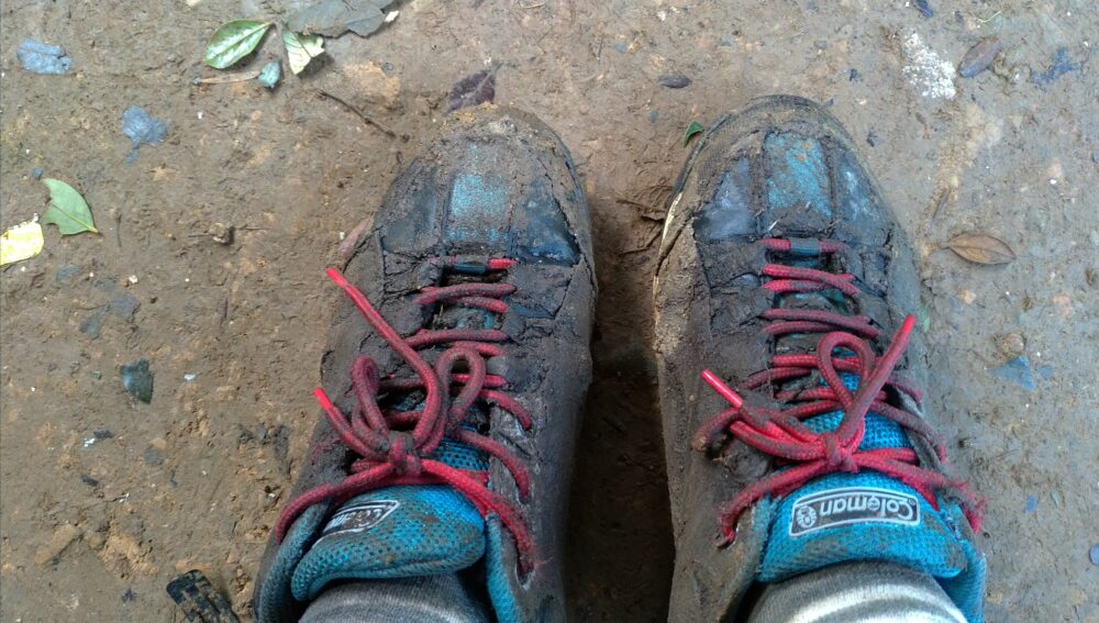
It was a very difficult experience, partly due to my lack of checking.
Summary
In this article, I have given you the full story of the Mt. This is only a beginner’s point of view, so I hope you will find it helpful.
I myself found it very difficult, but when I asked some of the more experienced members how difficult it was, they said that it was about a 4 out of 10 intermediate level. The condition of the trail was poor, but the slope was gentle and we did not have to use ropes or ladders to climb up.
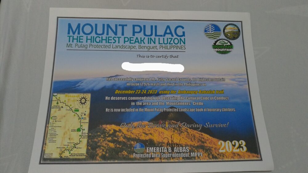
By the way, when you return after the climb, you can go to the facility where the orientation was held and get a nice certificate like this one. There is no charge and it is made on a rather solid paper. This is another nice service.
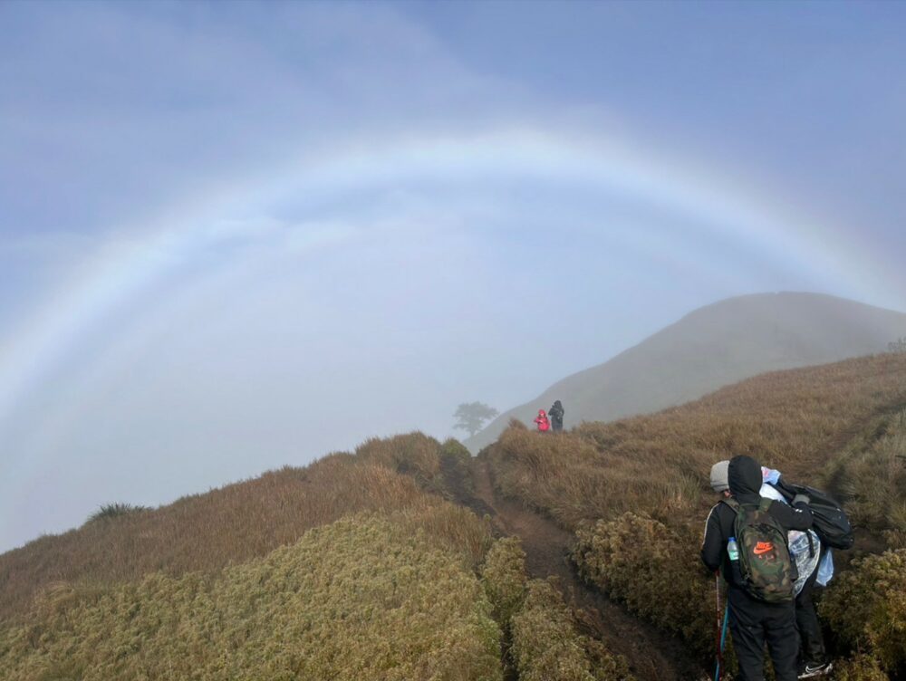
If you have read this far and think it sounds interesting, you will definitely enjoy it, so please go and have a look. If you are a beginner, please be sure to prepare well before you try it. I wish you all a wonderful and irreplaceable adventure.

